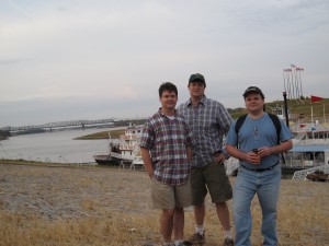
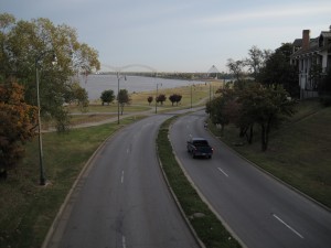
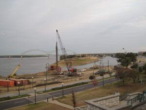
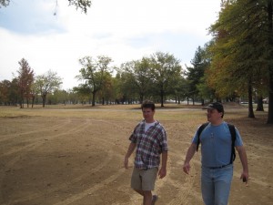
Robert Bell, Richie Trenthem, and I completed our 4th annual Memphis Walk yesterday. As in previous years, the plan was to start at the cobblestones next to the Mississippi River in downtown Memphis at sunrise and walk until sunset. Previous walks (2007, 2008, 2009) focused on primarily moving one direction for the entire day (first east, then south, then northwest), but this time around we spent some time rambling around beside the Mississippi River, eventually crossing over to Arkansas via the I-55 bridge, before finally turning east.
The purpose of these walks to is to get out, stretch our legs for the day, and, hopefully, see areas of Memphis from a new perspective. Walking affords plenty of time to recognize something interesting and take it in from different angles. Of course, it helps to have good weather, and we couldn’t have asked for a better day, with dry conditions and temperatures in the 70s, much more comfortable than the sub-freezing start we got last year.
Originally, I had the idea that we should try to walk west the year, crossing the I-55 bridge into Arkansas, with the goal of making it into West Memphis and beyond. However, after some preliminary scouting around the Arkansas-side of the I-55 bridge, it became clear that pedestrians could not, legally, walk beside the interstate highway the 5 or so miles before reaching a side road into West Memphis. There simply wasn’t a way to legally (and safely) walk west.
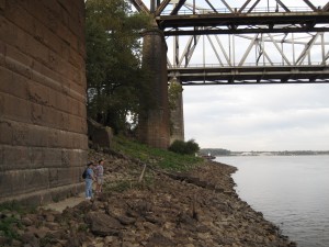
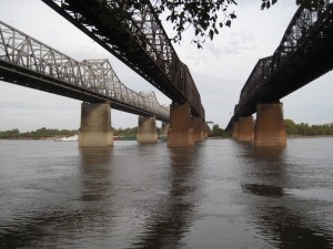
So, instead, we headed south along the river bluffs, ending up at Rivermont Park, where we headed behind the First Unitarian Church (and saw a fox in the woods – this is the second year in a row that we’ve seen a fox on the walk!). Getting down the bluff to cross under the railroad bridges was a bit tricky and hazardous, and moving along the large rocks as we made our way along the bank took some time, but the perspective from below the three bridges was worth it.
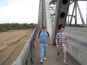
We climbed back up the bluff and made it to the entrance of the I-55 bridge over the Mississippi River. Crossing to Arkansas on the northern side of the bridge, you can see the Memphis skyline all along the way. Upon reaching the other side, we checked out the abandoned exit ramp from the original vehicle bridge (1917-1949) across the Mississippi River at Memphis, the Harahan Bridge. I recommend Steve Cox’s interesting site for some background info on the Harahan Bridge.
We crossed back over to Memphis on the south side of the bridge, which gave us a different sights for the return trip. All along the way, the bridge vibrated and the guardrails clanked as giant tractor trailers rumbled by. This is unnerving at first, as they are passing only a few feet away from where we are walking, but the metal framework that holds up the bridge is between the vehicle lanes and us, and after a while, you just get used to it. There wasn’t much wind, so other than the noise, the stroll felt, well, pleasant.
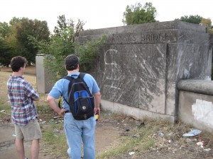
On each side of the I-55 bridge, on the south side, is a concrete sign than tells you the bridge’s true name: the Memphis & Arkansas Bridge. The Tennessee side also includes a poem by Walter Chandler, the thoughful 2-term mayor of Memphis.
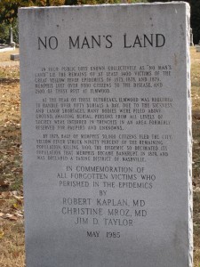
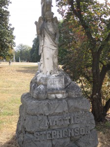
Back on solid ground, we ambled east, staying on Crump Boulevard and making our ways through neighborhoods before entering Elmwood Cemetery, perhaps the most historic cemetery in Memphis. I’ve been to Elmwood several times over the years, but this was my first visit after reading Molly Caldwell Crosby’s very good The American Plague, a book about Memphis during the 1878 yellow fever epidemic. Many of the victims during that chaotic time were buried in a mass grave near the entrance to Elmwood, and we were able to find the location with the help of the Elmwood staff.
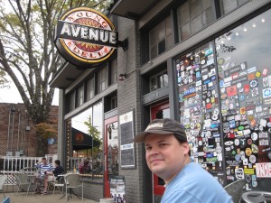
From Elmwood, we continued east down Walker Avenue and then McLemore Avenue, before moving into the Cooper-Young neighborhood and lunch at Young Avenue Deli.
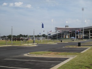
The next stop was the new Tiger Lane, in the location of the old fairgrounds location, near the Liberty Bowl. The Memphis Tigers weren’t playing this weekend, but there did appear to be a band competition, including marching, in progress.
We moved further east down Central, past the University of Memphis, then down Poplar before turning north near Perkins and weaving through the upper crust neighborhoods of East Memphis before hitting Mendenhall and heading north to intersect with the new Shelby Farms Greenline.
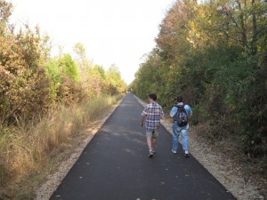
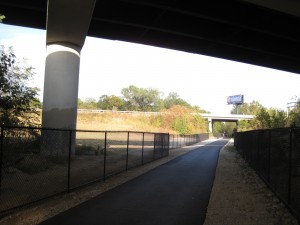
If you haven’t been on this wonderful urban walk and bike trail, you are really missing out. Running from Tillman to deep inside Shelby Farms, you can travel through the heart of Memphis as a pedestrian and barely come into contact with vehicle traffic by using a former railroad line. And the real treat comes at the end, where you pass over the Wolf River and a thickly wooded area on a series of bridges, where you can often see or hear animals or just hop off to follow another trail.
We continued through Shelby Farms and then cut northeast through Cordova, eventually coming out on the Cordova Club golf course, which we followed, ever eastward, before we hit Cordova Road, which led us to Germantown Parkway and our reward, a few pints at the Flying Saucer. Total mileage: 23.5 miles.
Thanks go out to Stephen for meeting us at Elmwood, Frank for urging us on at the Greenline, John Christenson for meeting us at the Saucer, and Mary Bell for driving us back home again.
You can see all of the photos I took from this trip here, or check out the images complete with associated Google maps for reference on my Panoramio site.
