Categories
Movies

Low Water on the Mississippi River

OK, so it has been 3 years since I posted anything on my site. That’s shameful. I’ll try to do better. For what it’s worth, I’ve been busy. Perhaps I’ll post some videos and pics of what I’ve been doing.

Meanwhile, please enjoy this video taken during a period of very low water of the Mississippi River at Memphis.

Categories
Movies

Memphis and the Mississippi River at Sunset

Just a short video on a warm fall evening, flying over the Mississippi River and gazing toward Memphis, Tennessee.

Categories
Travel

10th Annual Memphis Walk

img_20161029_073728

For the 10th iteration of our annual walk across Memphis, Richie, Robert, John, and I wandered south from the cobblestones of downtown, through Tom Lee Park, and over into Arkansas, thanks to the wonderful, new Big River Crossing.

img_20161029_074736

img_20161029_075005

img_20161029_075141180

During the time we’ve been doing these walks, we’ve seen a transformation at the riverfront. From new structures, like Beale Street Landing, to a beach volleyball court near Riverside Drive, to the completion of the Riverwalk, it has been rewarding to watch Memphis invest in fun things to do downtown. The Big River Crossing is the latest icing on the cake, which still far from being finished.

img_20161029_081741

img_20161029_085223

img_20161029_092407

After crossing back to Tennessee on sidewalk next to I-55, we continued heading south, going through the French Fort neighborhood and Riverside Golf Course, eventually going into T.O. Fuller State Park, where a golf course has been allowed to return nature, with beautiful results.

img_20161029_093103

img_20161029_112524

img_20161029_115839

img_20161029_120936

After being hassled by the modern version of a railroad bull, we made our way over to Hwy 61, before returning downtown via Uber for some well-deserved beers.

Another year, another wonderful walk, with warm, pleasant weather. More photos here.


Categories
General Movies

One Second Everyday – July, August, September 2016

In this video, we continue to trip in Italy, going from Tuscany to Venice, into the Dolomites, then back to Milan before heading home to Memphis and into a very warm fall.


Categories
General Travel

One Second Everyday – April, May, June 2016

From Memphis to Tuscany, live a little bit our lives, one second at a time…

Categories
General Travel

8th Annual Memphis Walk

IMG_20141025_230710

For eight years now (see here or here or here or here or here), Richie, Robert, and I have been doing this thing where we meet at the Mississippi River cobblestones at dawn during a Saturday in the fall and walk until nearly sunset, seeing a good chunk of Memphis at a relaxed pace through out the day. For this edition of the Memphis Walk, we were joined by John Christenson, with the goal of following urban rivers.

IMG_20141025_230821

This year, the Memphis Walk took us down Riverside Drive, past the finally-completed Beale Street Landing complex. I still think the cost of it was too high and time required for construction was too long, but at least it is here now and it is an impressive structure for visitors. I hope we are still using it 13 years from now, unlike the Pyramid. I’m sure we will still be paying for it then.

IMG_20141025_230911

IMG_20141025_230945

We walked through the downtown River Arts Festival before it opened for the day. I saw nearly as many food stands as artist booths, but I’m happy to see a vibrant and active South Main District.

IMG_20141025_081431

IMG_20141025_231046

IMG_20141025_231114

Heading south on Main, you eventually come across one of my favorite companies in Memphis, at least in terms of the name. I love the winking screw lady…

IMG_20141025_231222

Continuing south, we entered the area around I-55 and Crump Blvd that features a number of abandoned warehouses. I’ve driven past many of them before, and this was our chance to really peek inside and really take in how large, and sometimes beautiful, they are. (I even startled a homeless person that was living in the first floor of one of them.) We also came across some gems, such as an old fire engine next to a diesel repair shop.

IMG_20141025_231351

IMG_20141025_231420

IMG_20141025_231511

There is also a huge recycling center in this area, near Kansas St at Wisconsin Ave, that I had never seen before.

IMG_20141025_231546

IMG_20141025_231615

Eventually, we circled around past the French Fort Historic District, near the National Ornamental Metal Museum, and headed south again, bypassing the turn-off to President’s Island. All along the way, we could see cobblestone streets that had been covered up by multiple layers of concrete and then asphalt, which was gradually breaking up and revealing the original roadbed below.

IMG_20141025_231652

IMG_20141025_231733

Seeking a way to get away from the industrial area and stick closer to the river, we walked through the Riverside Golf Course, which offered bluff views of McKellar Lake and the Riverside Bayou.

IMG_20141025_231822

IMG_20141025_231907

Even while you are still in Martin Luther Riverside Park, you can see the steam? stacks of the Valero Memphis Refinery, just over the tree line.

IMG_20141025_232027

After passing the scrumptious smells of Jim Neely’s Interstate BBQ on Highway 61 (also South 3rd St), we turned off into an interesting area, bisected by levees and raised railroad bed and bridges that exists just to the south of I-55 and north of Nonconnah Creek. This grassy area is highly maintained and contains several gas and other fuel pipelines, as well as (possibly) the rumored direct Valero fuel pipeline that goes directly to the Memphis Airport and FedEx.

IMG_20141025_232119

Most intriguing, there are a number of small farm operations in this area which look like something you would find in the most remote parts of the southern US, complete with horses, chickens, and other livestock. One appeared to have power run to it, while another did not.

IMG_20141025_232149

IMG_20141025_232159

IMG_20141025_232243

Here, we are standing at the intersection of Nonconnah Creek and Cane Creek, trying to figure out how to cross either one of them.

IMG_20141025_232306

Eventually, we found a shallow section of Nonconnah Creek and waded across, watching out for all of the broken glass in the creek bed.

IMG_20141025_232345

IMG_20141025_232404

IMG_20141025_232423

We found what must be the boyfriend of the screw logo lady when we emerged from the woods around Nonconnah Creek in a modern warehouse district. Those two should definitely get together.

IMG_20141025_232438

IMG_20141025_232500

After a tasty and very filling meal at Uncle Lou’s Fried Chicken and observing a minor car wreck, we headed toward Winchester Road and points east.

IMG_20141025_232521

IMG_20141025_232612

The Airways Blvd at Democrat Rd area of Memphis has seen better days. At the Airways Transit Terminal, we just missed the bus downtown, so we called for a car from Uber, which got us to Bardog for a quick pint in less than 15 minutes.

IMG_20141025_230322

All in all, a fun and interesting way to spend the day.

Categories
General

Scott and Lia Come to Memphis!

Scott and Lia in the Swan

Scott and Lia spent a couple of days with us in Memphis last week. We explored the Mud Island River Park and Ornamental Metal Museum, ate Top’s beef brisket from a styrofoam cup, chased after Sadie holding a tennis ball, paddled plastic animals around a symbolic Gulf of Mexico, listened to Lia recite pi to about 20 places, chowed on some pizza with Dave, Christina, and Lucky, made some pottery figures that need to be fired, and generally just caught up on each other’s lives. In short, we had a blast!

We have got to go up to Rhode Island to visit the whole Douglas clan soon… Thank you to Scott and Lia for making the trip down to see us!

Scott and Lia Walk the Mississippi River Model


Lia Crosses the Mississippi

Lia Douglas at 10

Lia and Sadie

Categories
General Travel

Memphis Viewed Across the Mississippi River on Easter Morning

Antonio and I went on a motorcycle ride to the west bank of the Mississippi River, opposite from Memphis. Few Memphians have witnessed this view, as it is difficult to get to a spot directly across Old Man River from the largest building.

What a beautiful day, too. Perfect weather!

image

image

image

image

Categories
Travel

7th Annual Memphis Walk

image

On Saturday, October 19th, Richie, Robert, and I completed our 7th annual Memphis Walk, where we start at the cobblestones in downtown Memphis, at the Mississippi River, at sunrise and walk in a general direction (usually east-ish) until sunset.

The day started off cloudy, cool, and a bit rainy, and it stayed cool and cloudy most of the day. By the afternoon, the sun started to break through the clouds, and we finally started warming up a bit.

This year, our route took us from South Main to Germantown, largely following Barron St., which turns into Rhodes, which turns into Quince. We ended up on Poplar Pike, entering Germantown. Highlights included the (finally open, maybe) Beale Street Landing, safety warnings from firemen near Foote Homes, walking through Orange Mound on Barron Ave., crossing the MUS campus, and finally leaving Memphis.

image

Beale Street Landing has been under construction since at least our 2008 walk, and it seemed that they would never finish the project. In fact, they haven’t, as half of the site is still construction. Why it has taken 5 years to get this far and still not be finished is a mystery to me. The whole project smells like a boondoggle, but the views from the grass top of the main building are impressive.

image

Beale Street Landing is supposed to be a dock for passenger riverboats that travel up and down the Mississippi, but the use of the structure is very light right now.

image

We traversed some old downtown underpasses on our way to our traditional coffee spot on South Main, Bluff City Coffee.

image

image

We turned east after the Tennessee Brewery, ever the eyesore with enormous potential.

image

image

The vacant lot beside Ernestine and Hazel’s is now partially an art installation, with a grassy yard in the back that, strangely, meets the original tile floor.

image

image

Walking down Mississippi Boulevard near Foote Homes, a fireman called out to us and asked us what we were doing there. Apparently, he thought we were lost tourists, wandering through a bad neighborhood. After showing off their bulletproof wall in front of the fire station, he (perhaps only half-jokingly) asked us to write our social security numbers on our forearms for identification. We ignored him and strolled on.

image

image

Within a few blocks on or just off Peabody Ave., you can find older Victorian-style homes in various states of decay near stately homes only slightly newer but in much better shape.

image

image

image

While not as interesting as Summer Avenue, Lamar Avenue always holds lots of interesting sights, such as the old Lamar Theater, which appears to have a newly painted sign.

We discovered a cool entrance from Lamar to Glenview Park, under the railroad tracks.

image

image

image

To me, Barron Ave. was a real surprise. For all of the time I’ve been in Memphis, I’ve never traveled down the street, with runs through the southern part of the Orange Mound neighborhood. We ended up walking the length of the street, as far east as Ridgeway, watching the city transition from a troubled, working-class neighborhood to East Memphis homes and finally ending up at high-end, exclusive private schools, a real contrast.

image

image

When Neil’s in Midtown Memphis burned down a couple of years ago, we wondered where he relocated. We found his new building by accident at Quince at I-240.

image

image

I had never been on the Memphis University School (MUS) campus, so we strolled across it. The athletic fields reminded me of Rhodes College.

image

Balconies without doors or windows to access them, anyone? Another example of East Memphis architecture run amok.

image

By the time we reached the Germantown city limits on Poplar Pike, we had walked about 18.5 miles.

image

Categories
General

North Mississippi All-Stars at the Shell

image

Best show at the Shell I’ve ever attended. A great way to start the season!

Categories
General Travel

6th Annual Memphis Walk

CameraZOOM-20121215065649155

Robert Bell, Richie Trenthem, and I completed our 6th Annual Memphis Walk on December 15th, 2012. As in previous years (2007, 2008, 2009, 2010, 2011), we met at the cobblestones of the Mississippi River in downtown Memphis at sunrise and started walking in a general direction. This year, we kept an almost due-east track, ending up at Wolfchase Galleria and catching a bus for the trip back downtown.

CameraZOOM-20121215071405384

It is getting a little harder to find an original route when we head east, and we tried to stay on different streets from previous walks while trying to take in a new perspective when traveling over streets we often see while driving.

CameraZOOM-20121215081431034

Some highlights:

  • While crossing Danny Thomas near Jefferson, we used a pedestrian crosswalk that was open on one end but barricaded and locked on the other end. We were able to get over the barricade and make it through, but it wasn’t clear why it was closed off in the first place or why there wasn’t a sign warning pedestrians not to try to use that bridge.CameraZOOM-20121215071704952
  • We discovered the stone marker for Edison Park, a city park that was decades ago essentially taken over by the Edison Park Apartments, near Danny Thomas and Jefferson. I never realized that there was originally a park dedicated to Thomas Edison there, due to the fact that he lived in Memphis in 1865-1866 as a telegraph operator. Nothing really remains of the park today, except for the marker, because it was turned into a parking garage for the nearby apartments.CameraZOOM-20121215080227400
  • We walked through the area south of Poplar Ave., near Cleveland St., that was demolished to make way for a shopping center development, featuring a Target, that never happened, probably use to the Great Recession of 2008. The area is marked off with fencing that is full of holes and seems ready for a grand building project, like the Mall of Memphis area. Instead of heavy construction, it has the feel of a park the public isn’t allowed to enter, a pleasant, empty area, with trees and grass, bisected by city streets, covering 4 or 5 blocks.CameraZOOM-20121215121435330
  • We walked the northwestern regions of Shelby Farms park, finding a pleasant lake behind trees, hidden from the I-240 and I-40 interchange. The entire area is crossed by bicycle trails, but we didn’t see anyone else, as we walked from the Greenline through the woods to Summer Ave.

CameraZOOM-20121215122717808

The total mileage on the walk was 20 miles, but despite some on-and-on rain, the weather was warm and pleasant, especially for December. I’m already looking forward to next year’s walk.

CameraZOOM-20121215161609773

View all photos of the 2012 Memphis Walk here.


Categories
General Travel

Sunday Evening Memphis Skyline

image

From across the river.

Categories
General Travel

4th Annual Memphis Walk

Robert Bell, Richie Trenthem, and I completed our 4th annual Memphis Walk yesterday. As in previous years, the plan was to start at the cobblestones next to the Mississippi River in downtown Memphis at sunrise and walk until sunset. Previous walks (2007, 2008, 2009) focused on primarily moving one direction for the entire day (first east, then south, then northwest), but this time around we spent some time rambling around beside the Mississippi River, eventually crossing over to Arkansas via the I-55 bridge, before finally turning east.

The purpose of these walks to is to get out, stretch our legs for the day, and, hopefully, see areas of Memphis from a new perspective. Walking affords plenty of time to recognize something interesting and take it in from different angles. Of course, it helps to have good weather, and we couldn’t have asked for a better day, with dry conditions and temperatures in the 70s, much more comfortable than the sub-freezing start we got last year.

Originally, I had the idea that we should try to walk west the year, crossing the I-55 bridge into Arkansas, with the goal of making it into West Memphis and beyond. However, after some preliminary scouting around the Arkansas-side of the I-55 bridge, it became clear that pedestrians could not, legally, walk beside the interstate highway the 5 or so miles before reaching a side road into West Memphis. There simply wasn’t a way to legally (and safely) walk west.

So, instead, we headed south along the river bluffs, ending up at Rivermont Park, where we headed behind the First Unitarian Church (and saw a fox in the woods – this is the second year in a row that we’ve seen a fox on the walk!). Getting down the bluff to cross under the railroad bridges was a bit tricky and hazardous, and moving along the large rocks as we made our way along the bank took some time, but the perspective from below the three bridges was worth it.

We climbed back up the bluff and made it to the entrance of the I-55 bridge over the Mississippi River. Crossing to Arkansas on the northern side of the bridge, you can see the Memphis skyline all along the way. Upon reaching the other side, we checked out the abandoned exit ramp from the original vehicle bridge (1917-1949) across the Mississippi River at Memphis, the Harahan Bridge. I recommend Steve Cox’s interesting site for some background info on the Harahan Bridge.

We crossed back over to Memphis on the south side of the bridge, which gave us a different sights for the return trip. All along the way, the bridge vibrated and the guardrails clanked as giant tractor trailers rumbled by. This is unnerving at first, as they are passing only a few feet away from where we are walking, but the metal framework that holds up the bridge is between the vehicle lanes and us, and after a while, you just get used to it. There wasn’t much wind, so other than the noise, the stroll felt, well, pleasant.

On each side of the I-55 bridge, on the south side, is a concrete sign than tells you the bridge’s true name: the Memphis & Arkansas Bridge. The Tennessee side also includes a poem by Walter Chandler, the thoughful 2-term mayor of Memphis.

Back on solid ground, we ambled east, staying on Crump Boulevard and making our ways through neighborhoods before entering Elmwood Cemetery, perhaps the most historic cemetery in Memphis. I’ve been to Elmwood several times over the years, but this was my first visit after reading Molly Caldwell Crosby’s very good The American Plague, a book about Memphis during the 1878 yellow fever epidemic. Many of the victims during that chaotic time were buried in a mass grave near the entrance to Elmwood, and we were able to find the location with the help of the Elmwood staff.

From Elmwood, we continued east down Walker Avenue and then McLemore Avenue, before moving into the Cooper-Young neighborhood and lunch at Young Avenue Deli.

The next stop was the new Tiger Lane, in the location of the old fairgrounds location, near the Liberty Bowl. The Memphis Tigers weren’t playing this weekend, but there did appear to be a band competition, including marching, in progress.

We moved further east down Central, past the University of Memphis, then down Poplar before turning north near Perkins and weaving through the upper crust neighborhoods of East Memphis before hitting Mendenhall and heading north to intersect with the new Shelby Farms Greenline.

If you haven’t been on this wonderful urban walk and bike trail, you are really missing out. Running from Tillman to deep inside Shelby Farms, you can travel through the heart of Memphis as a pedestrian and barely come into contact with vehicle traffic by using a former railroad line. And the real treat comes at the end, where you pass over the Wolf River and a thickly wooded area on a series of bridges, where you can often see or hear animals or just hop off to follow another trail.

We continued through Shelby Farms and then cut northeast through Cordova, eventually coming out on the Cordova Club golf course, which we followed, ever eastward, before we hit Cordova Road, which led us to Germantown Parkway and our reward, a few pints at the Flying Saucer. Total mileage: 23.5 miles.

Thanks go out to Stephen for meeting us at Elmwood, Frank for urging us on at the Greenline, John Christenson for meeting us at the Saucer, and Mary Bell for driving us back home again.

You can see all of the photos I took from this trip here, or check out the images complete with associated Google maps for reference on my Panoramio site.

Categories
General

Jeff Parker Retrospective – Day 2

You think you might know Jeff Parker, the man, or Jeff Parker, the father, but did you know that there is also … Jeff Parker, the farmer?

I don’t exactly remember what what going on in this photo, but Jeff appears to be tilling up the dirt around one side of the House of the Rising Sun to plant a garden. Who knows how green Jeff’s thumb turned, but you can tell that he is either a master tiller or he is just getting started, because he is still mud-free…

Categories
General

The NY Times Discovers Indie Memphis

I don’t know if this is a good thing or not, but the NY Times has an article on their site that basically hits most of the cool spots around midtown Memphis.

http://travel.nytimes.com/2010/01/31/travel/31next.html

Some choice quotes from the article:

  • The Cove has “a New Orleans style and a nautical theme, with a mast extending over the bar, peeling paint (there’s a lot of peeling paint in Memphis), ragged booths (ditto) and kitschy murals of sailors. The menu includes oysters and Cafe du Monde coffee; movies along the lines of “Brazil” play in lieu of sports.”
  • “To flip through the bins of seven-inches at Shangri-La or Goner Records is to feel the weight of Southern, which is to say American, musical history, gospel to blues to soul.”
  • Ernestine & Hazel’s was “once a dry goods store, for decades it operated openly as a brothel on the second floor; the namesake owners were first cousins whose husbands were cozy with the muckety-mucks at Stax and the local law enforcement, according to legend.”
  • “Indie Memphis has its own community icons, chief among them Shirley Williams, who has been serving drinks at the Lamplighter bar for nearly 40 years. The Lamp, as locals call it, is another Midtown dive. Opened since 1932, it is the city’s oldest continuously operating bar and has lately found its grungy slice of fame as the site of music videos for the likes of Cat Power.”
  • “‘We’re the real deal,’ Archie Turner said as he packed up his keyboard at 4 a.m. at Wild Bill’s, a dive bar, barbecue spot and soul joint that is one of the area’s most belovedly ragged destinations.”

Damn. I think they pretty much nailed it. Does anyone else have some suggestions for spots they missed?

Categories
General Travel

Memphis Walk North(east)

2009120502_truk_robert_richie_downtown

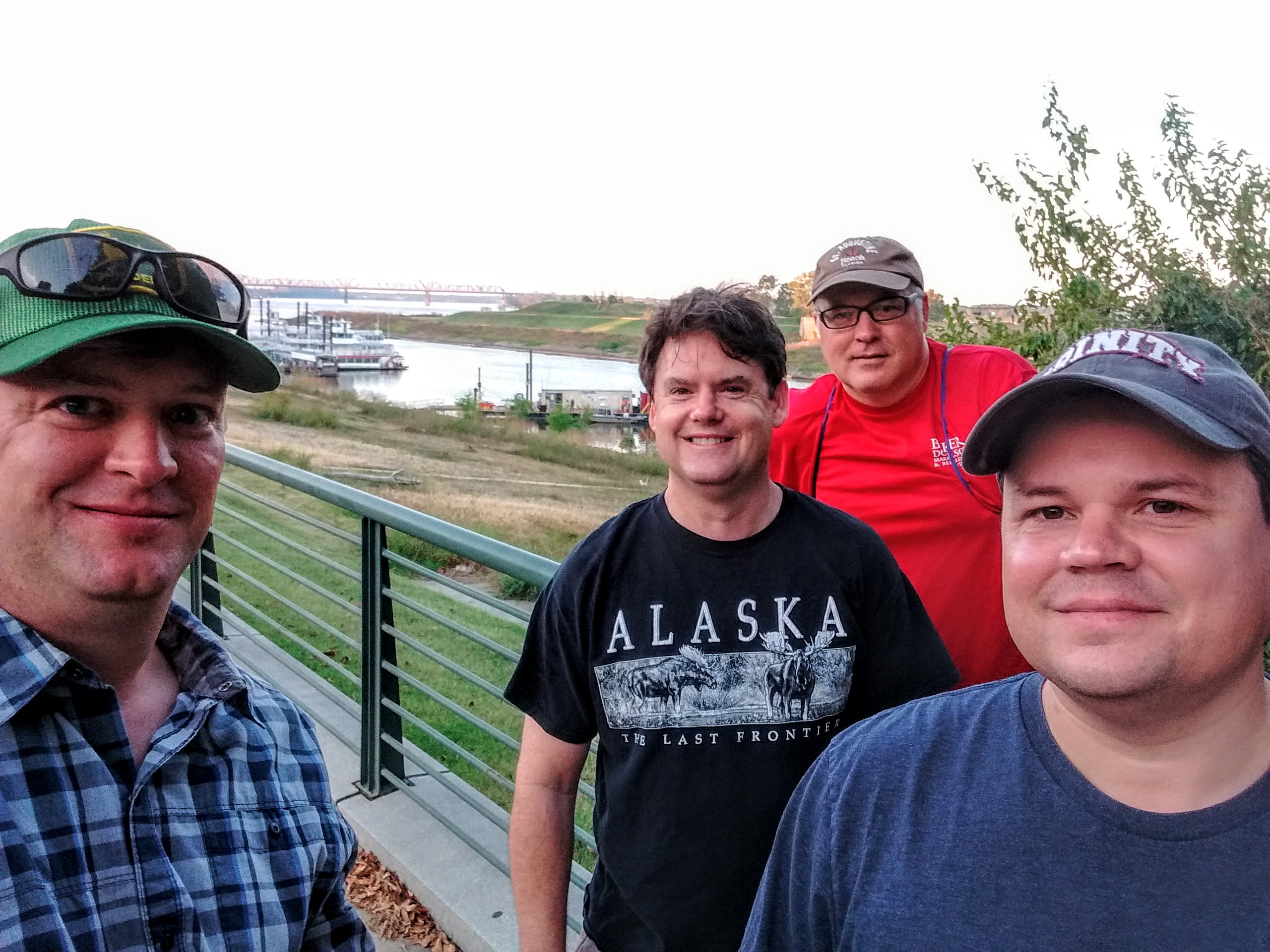
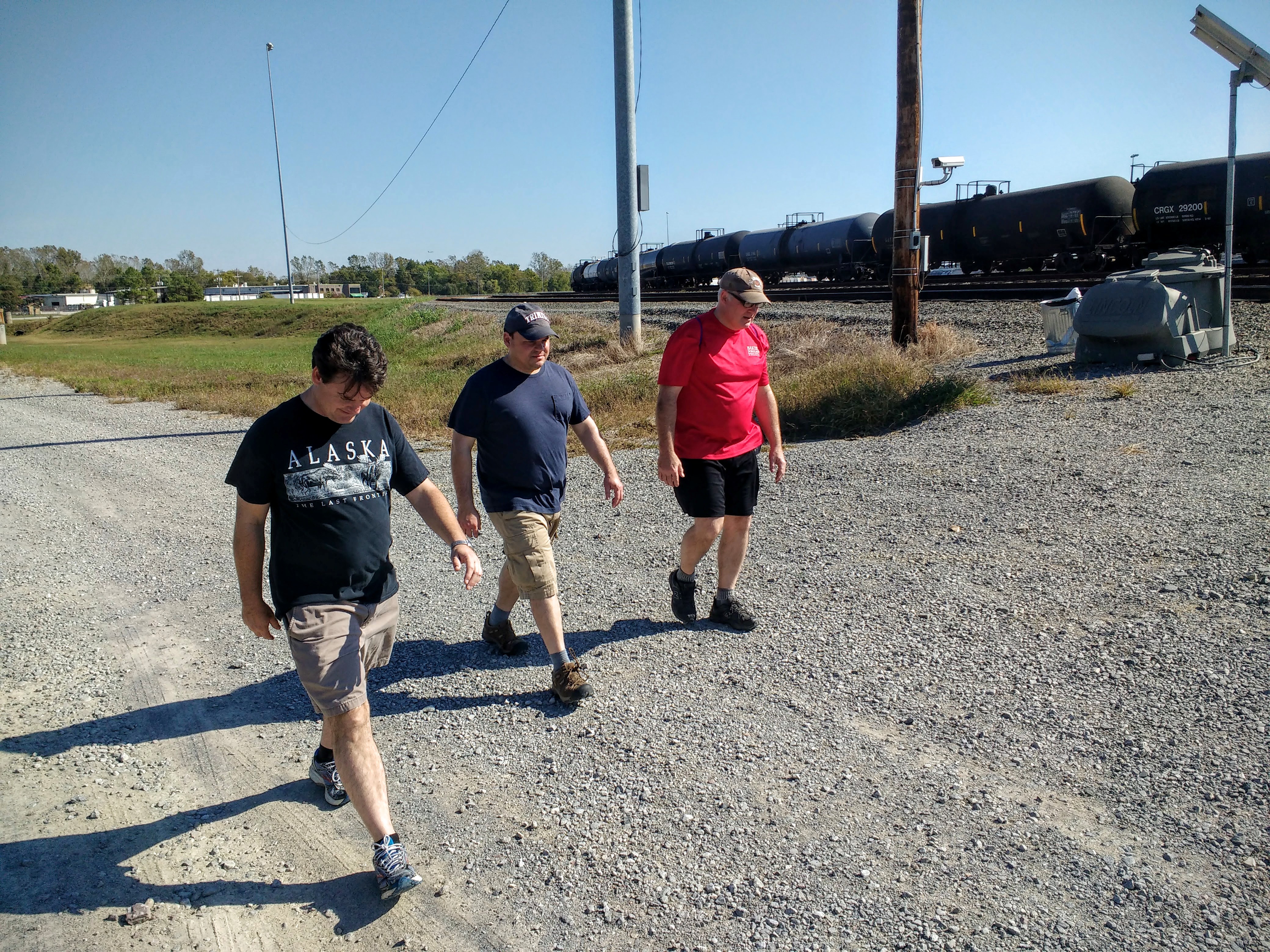
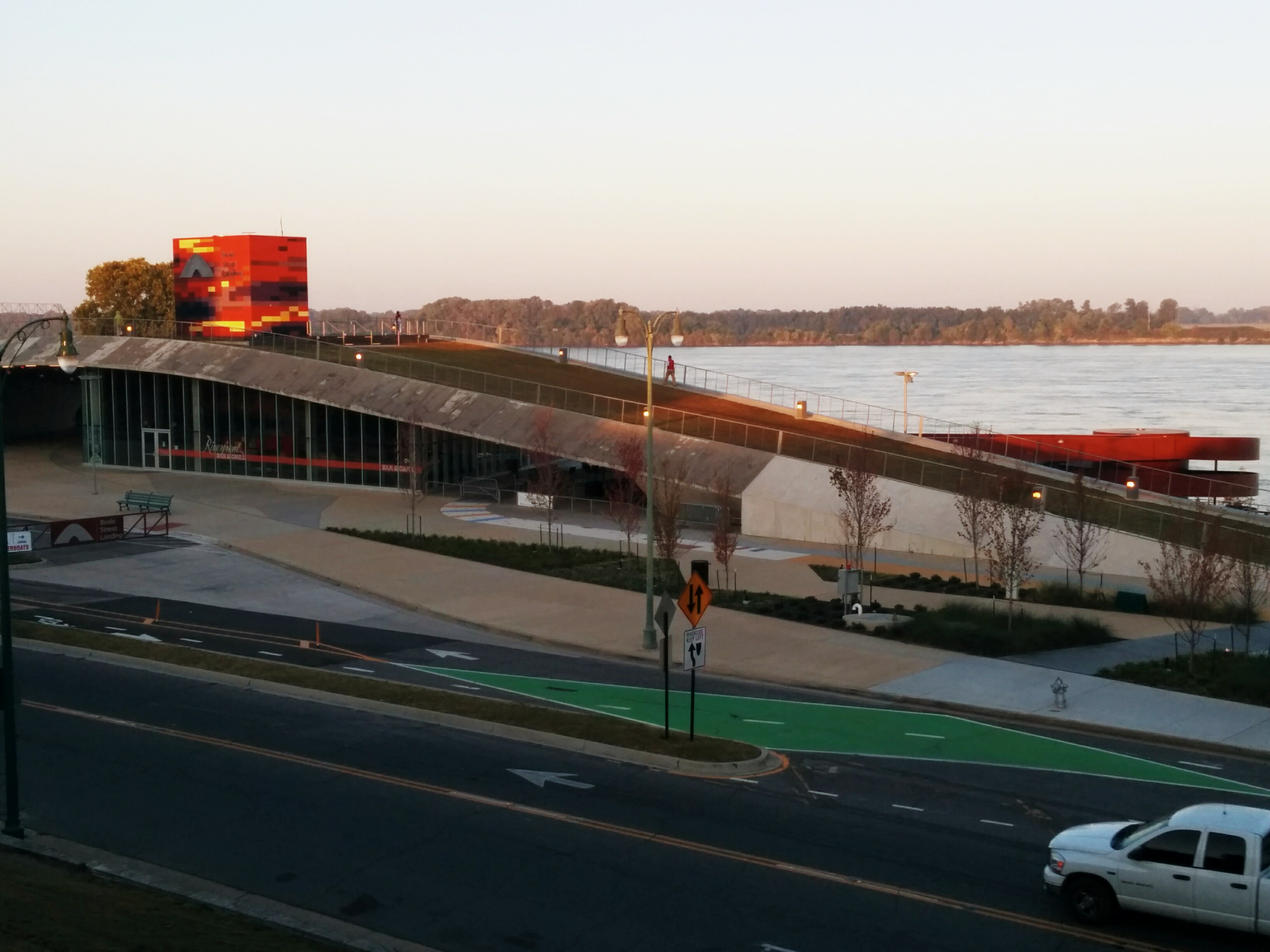
For the third year in a row, some friends and I have headed out from the cobblestones at the Mississippi River in downtown Memphis and walked, more or less, in a single direction. After going east in 2007 and south in 2008, we headed north-ish this year, looking to take in the northern reaches of the city, such as Greenlaw, Frayser, Raleigh, and then the suburbs beyond, such as Bartlett and Lakeland.

One big difference about the walk this year had to do with the temperature. I’ve had an unusually busy past few months, and this was the first weekend where it was possible to find a weekend day to do the walk. Unfortunately, it is also December, which usually means cold, even in Memphis, so it was a bit more brisk than the other walks, which were done in October. At sunrise, when we set off, the temperature was still a few degrees below freezing.

2009120506_main_street_tree

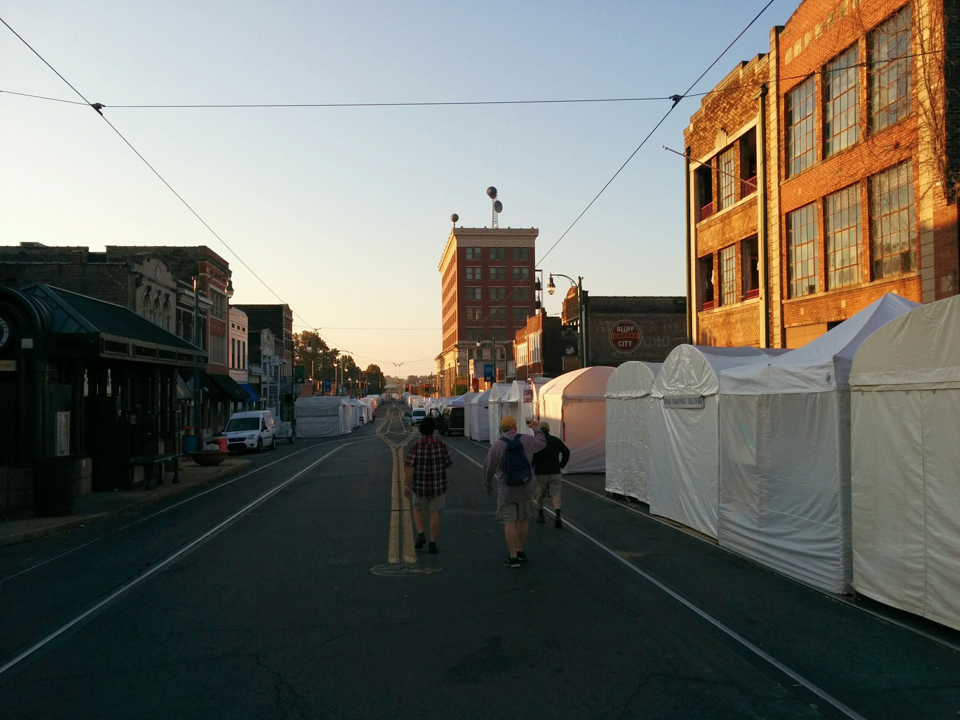
Despite the cold, some of the trees are still turning colors, like this one in front of the city government building on Main Street. We left the cobblestones and headed up into the hill into downtown, taking a left on Main Street and following it until we could cut over to Chelsea.

2009120508_richie_robert_cop

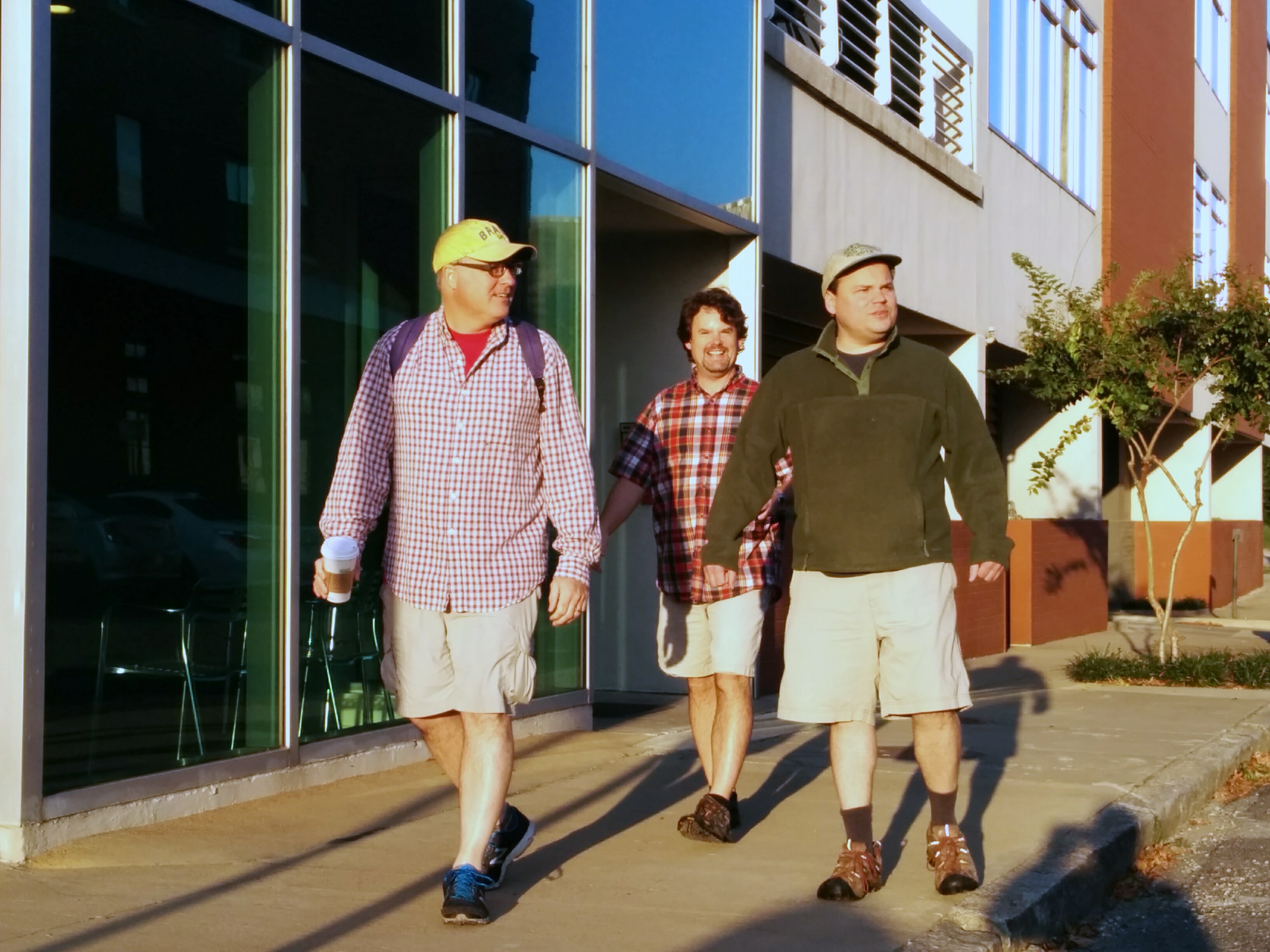
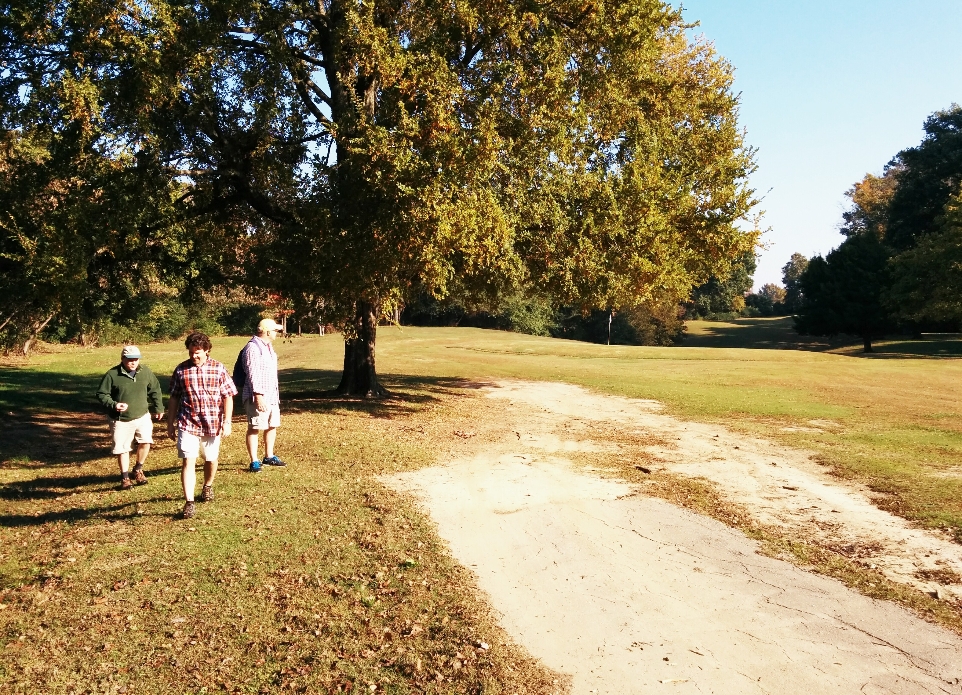
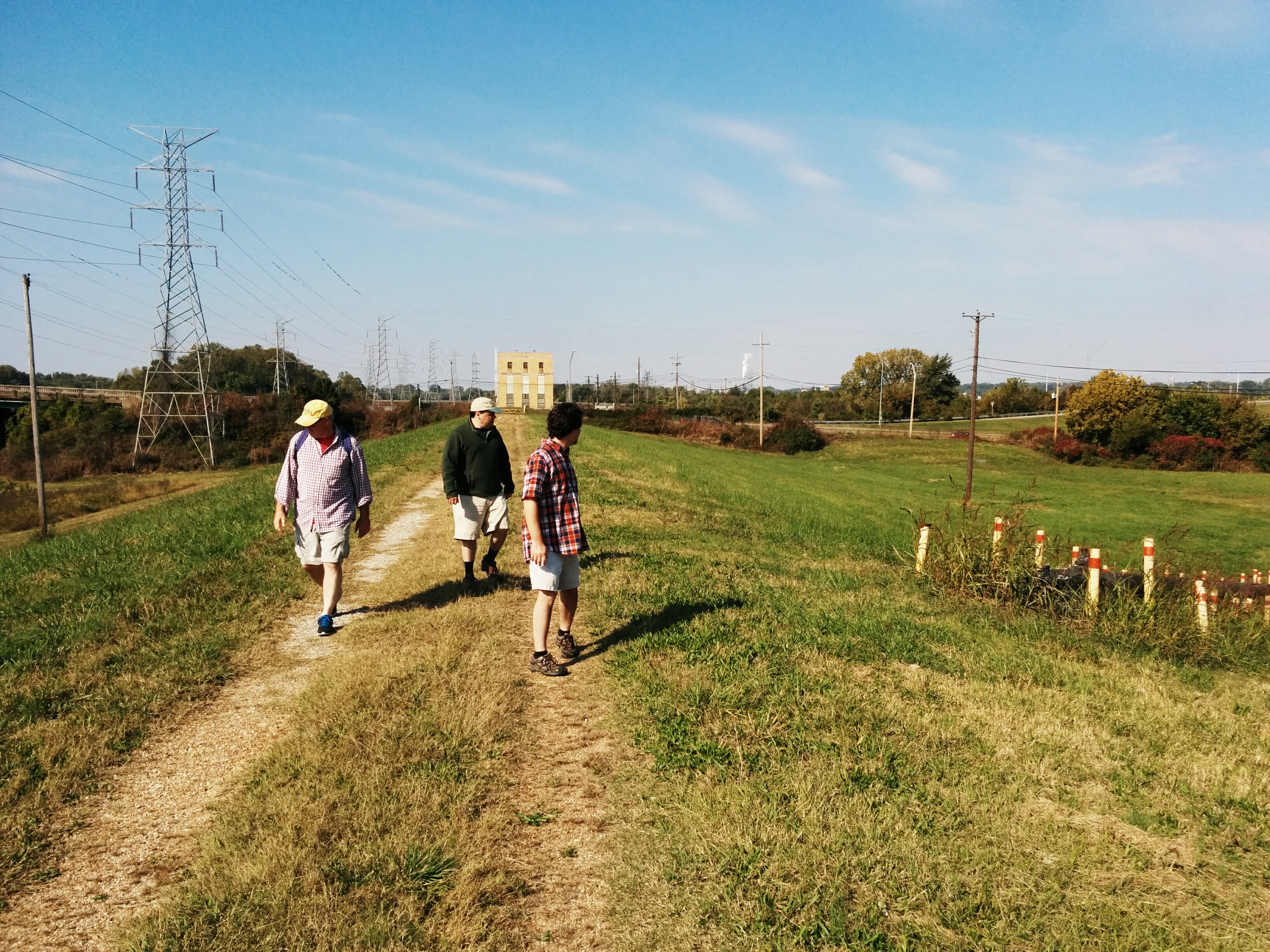
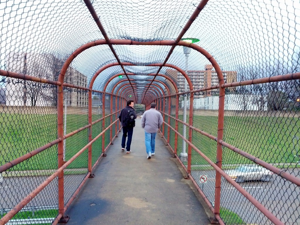
Did I mention that it was cold? It is hard to see in this picture of Richie and Robert, but there actually is steam coming out of the sewer, which is relatively rare, even in the winter in Memphis.

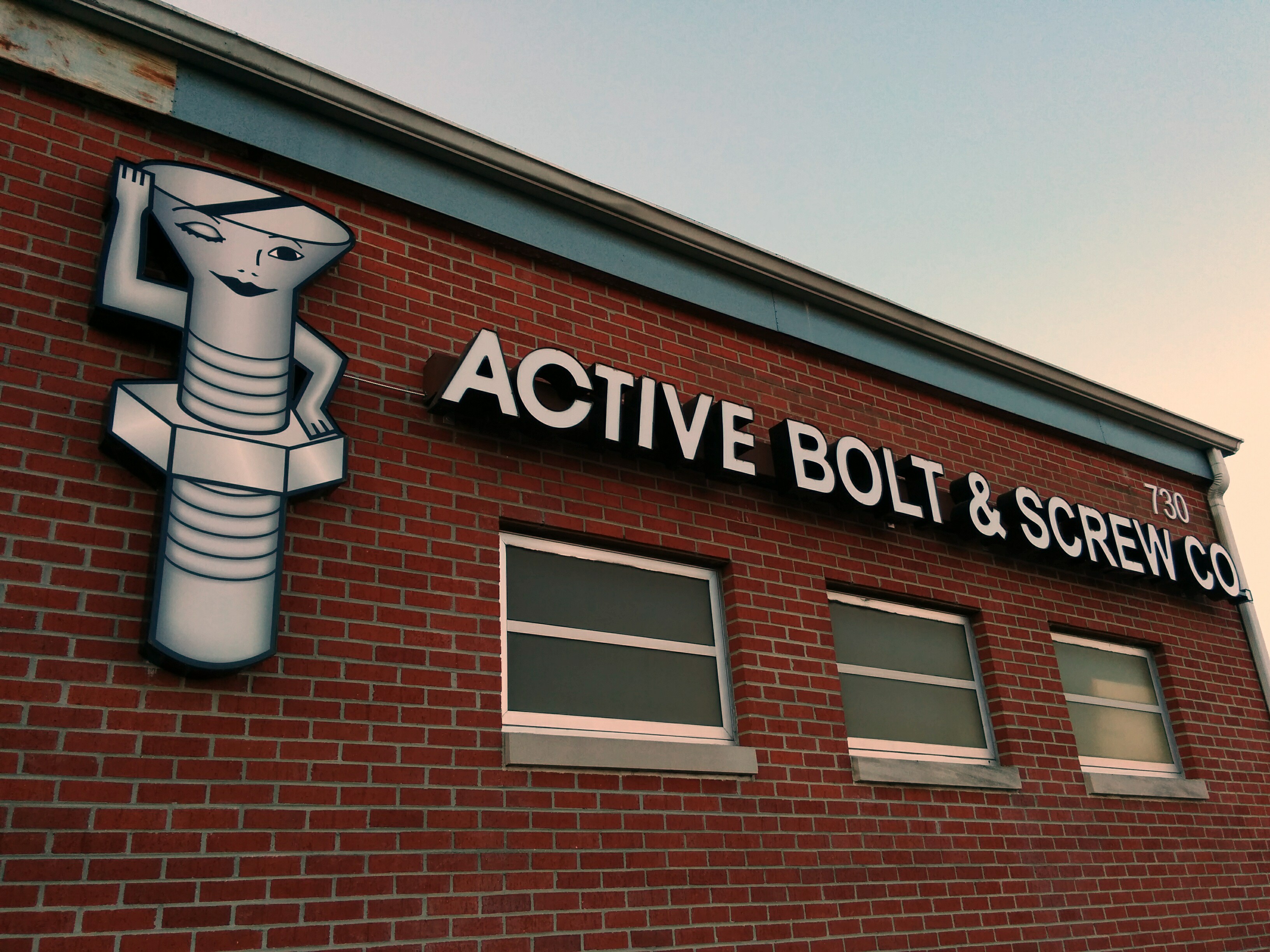
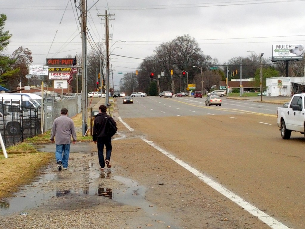
Chelsea is one of the more interesting, and disadvantaged, streets in Memphis. Sights like this Ford Explorer with a missing window and back tire are common. One could wonder which one went first.

2009120515_chelsea_tax_man

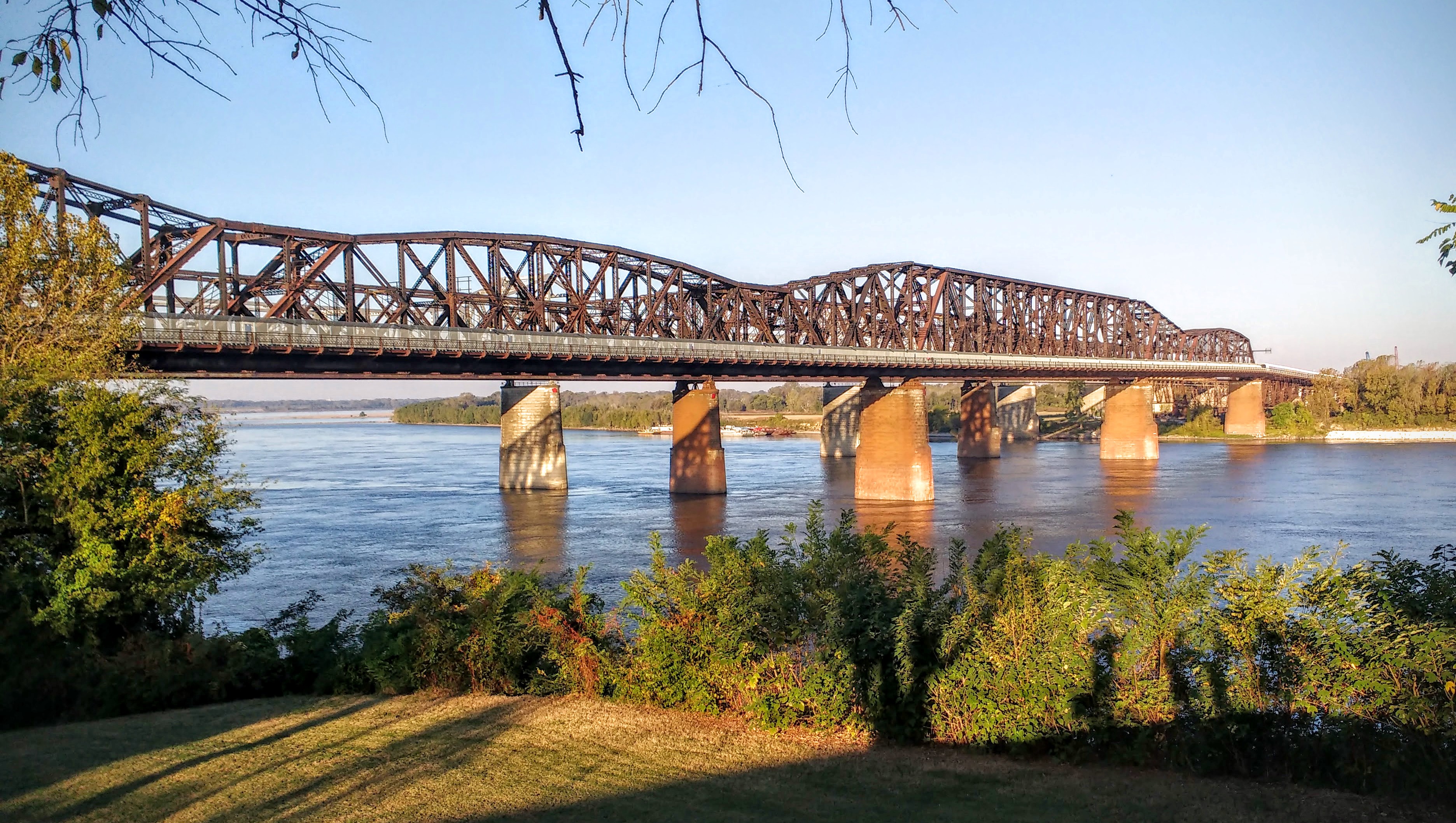
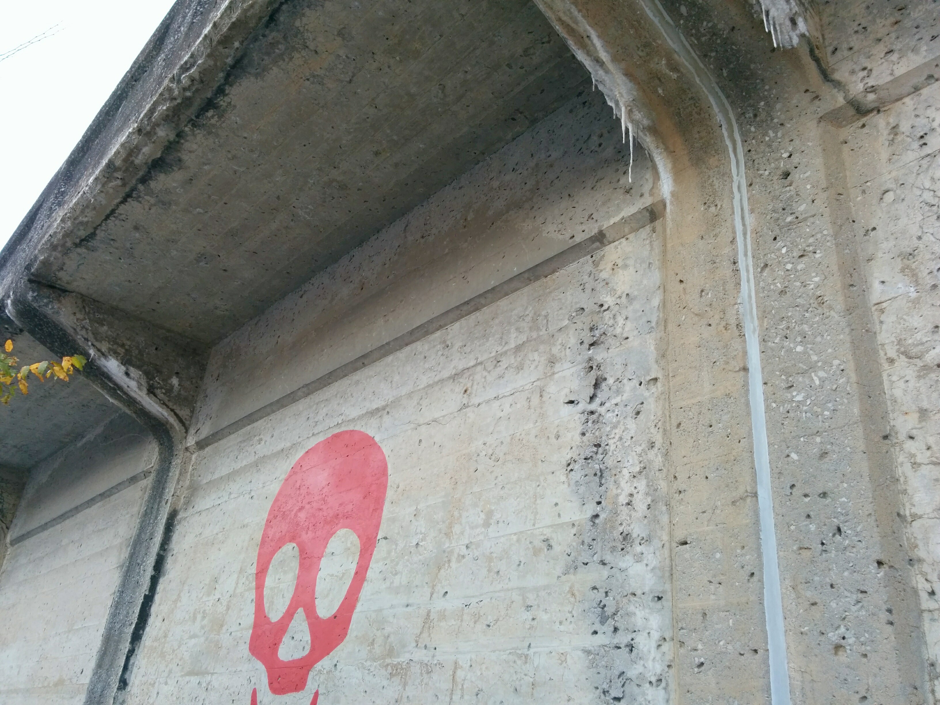
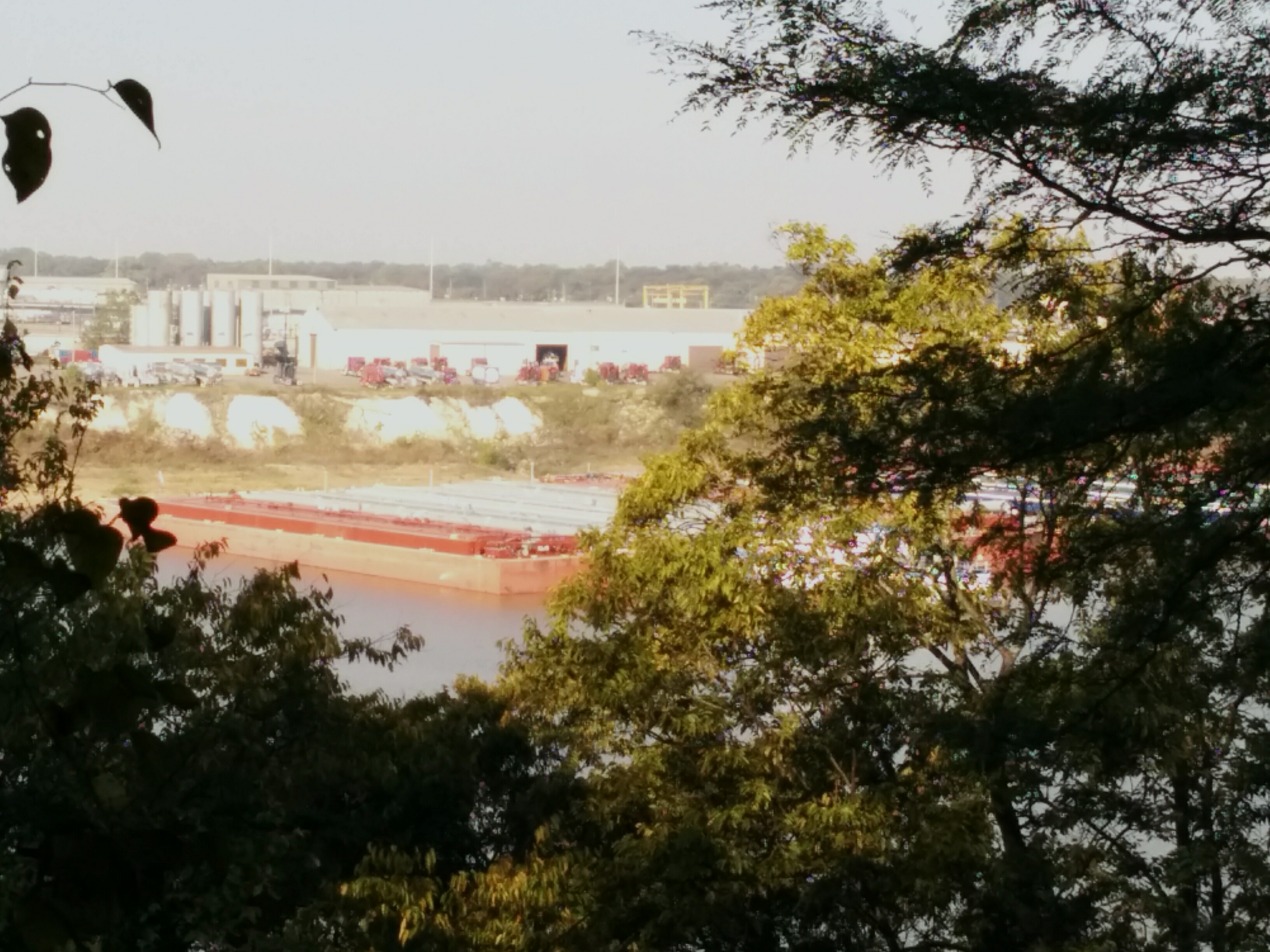
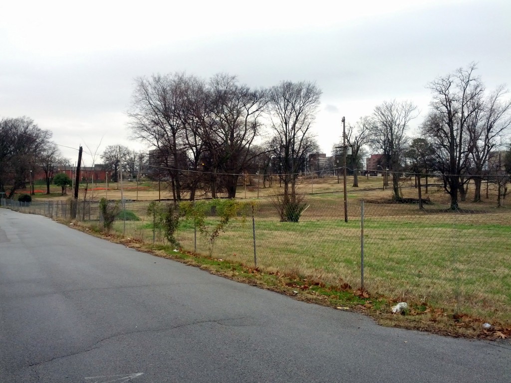
Abandoned infrastructure was abundant, like this abandoned railroad bridge near Chelsea at Watkins.

2009120520_old_railroad_bridge

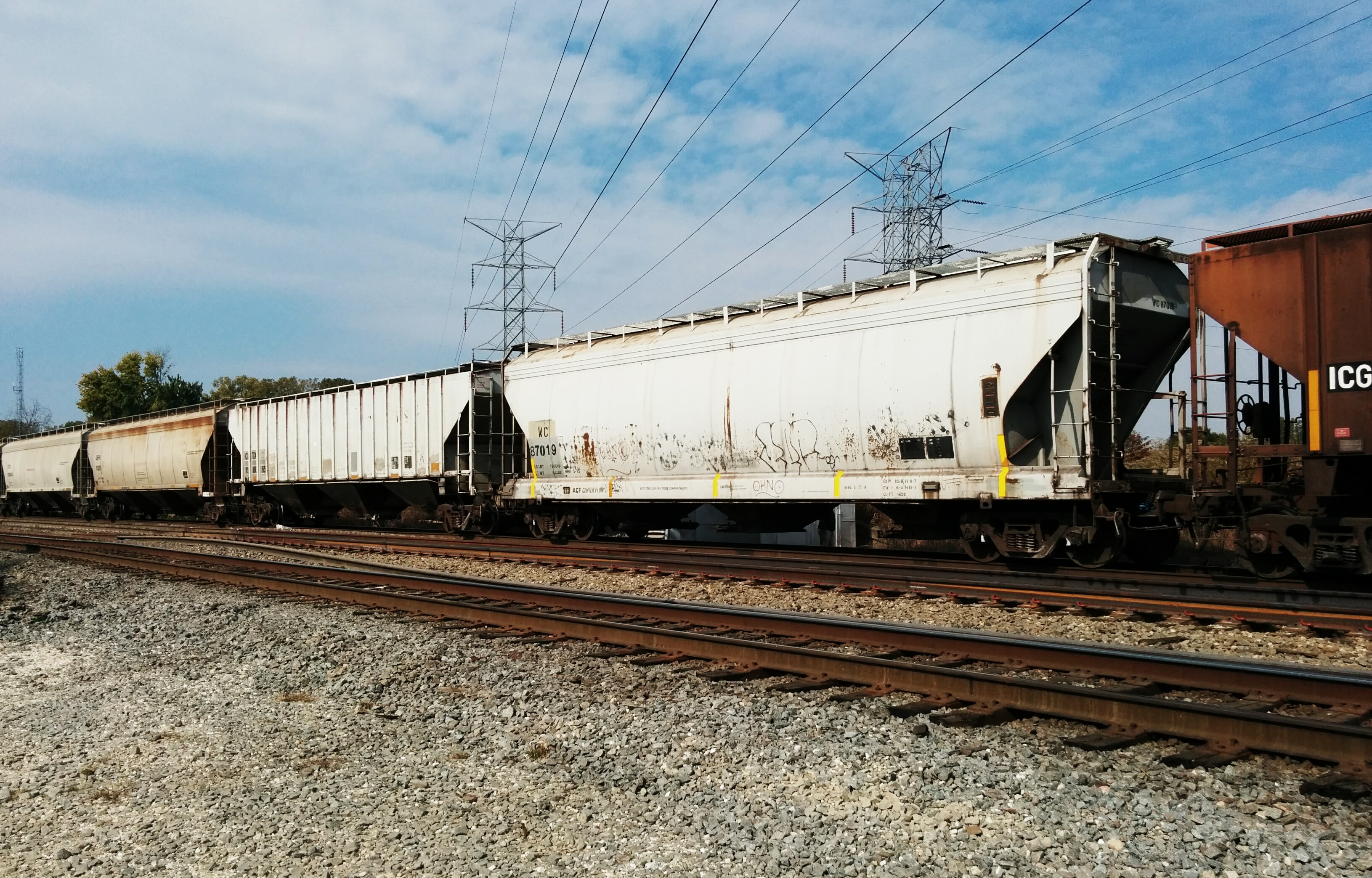
Walking up Watkins toward Overton Crossing, we stopped to check out the trollies that looked as if they had been used for parts for the current MATA downtown trollies. Interestingly, all of these were covered in Spanish. It wasn’t clear if they has previously been in service in Mexico, Spain, or somewhere else.

2009120526_old_trolley

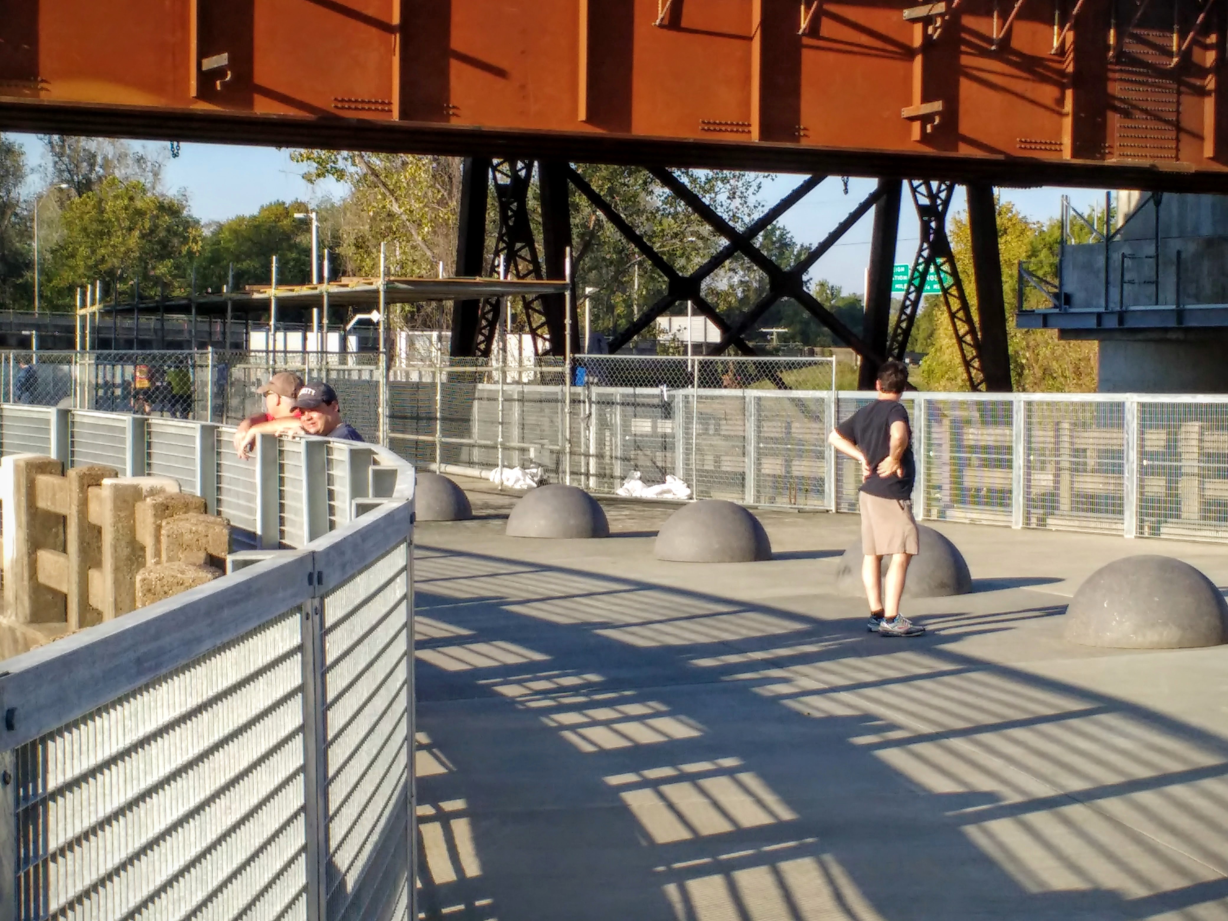
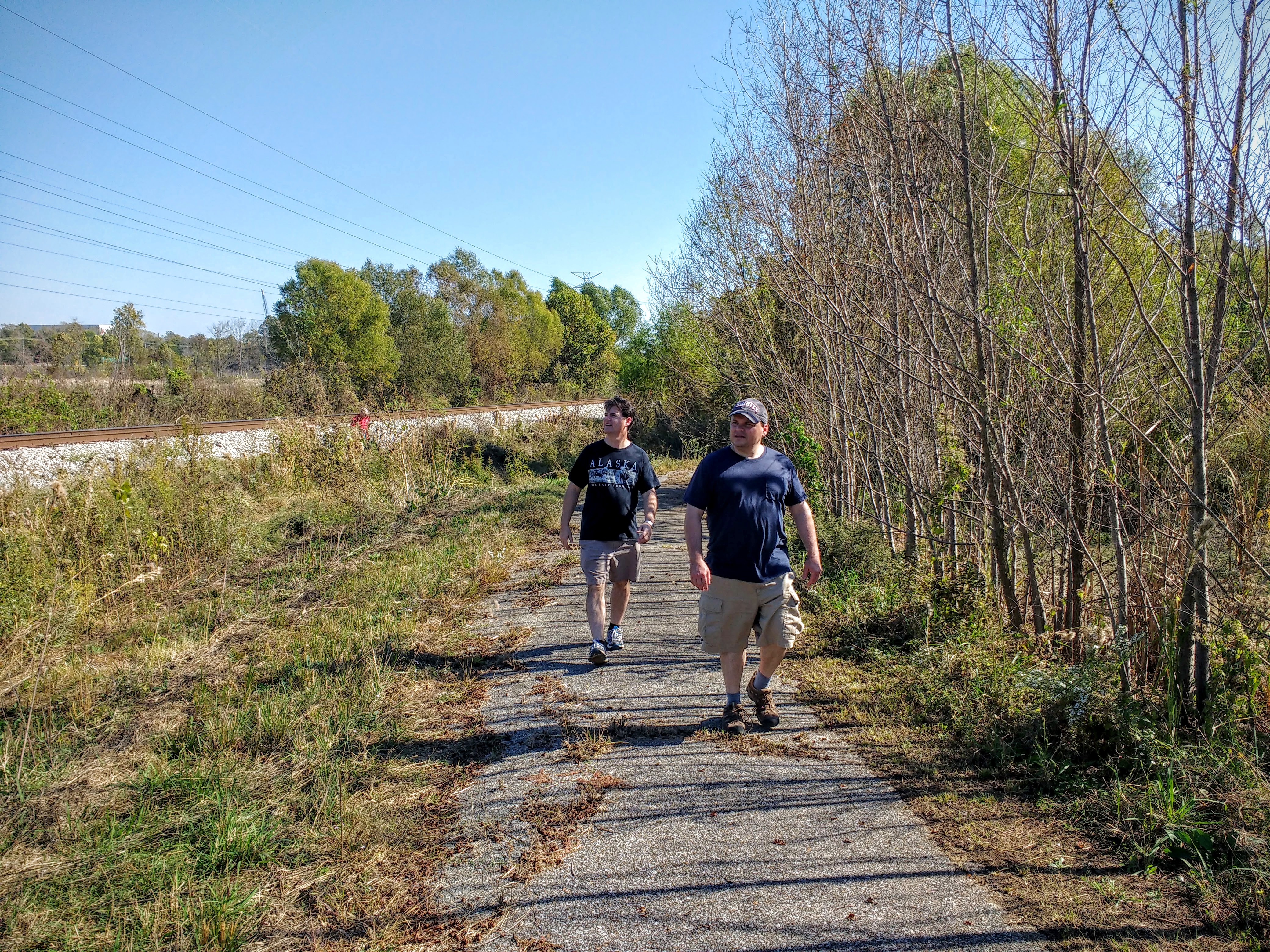
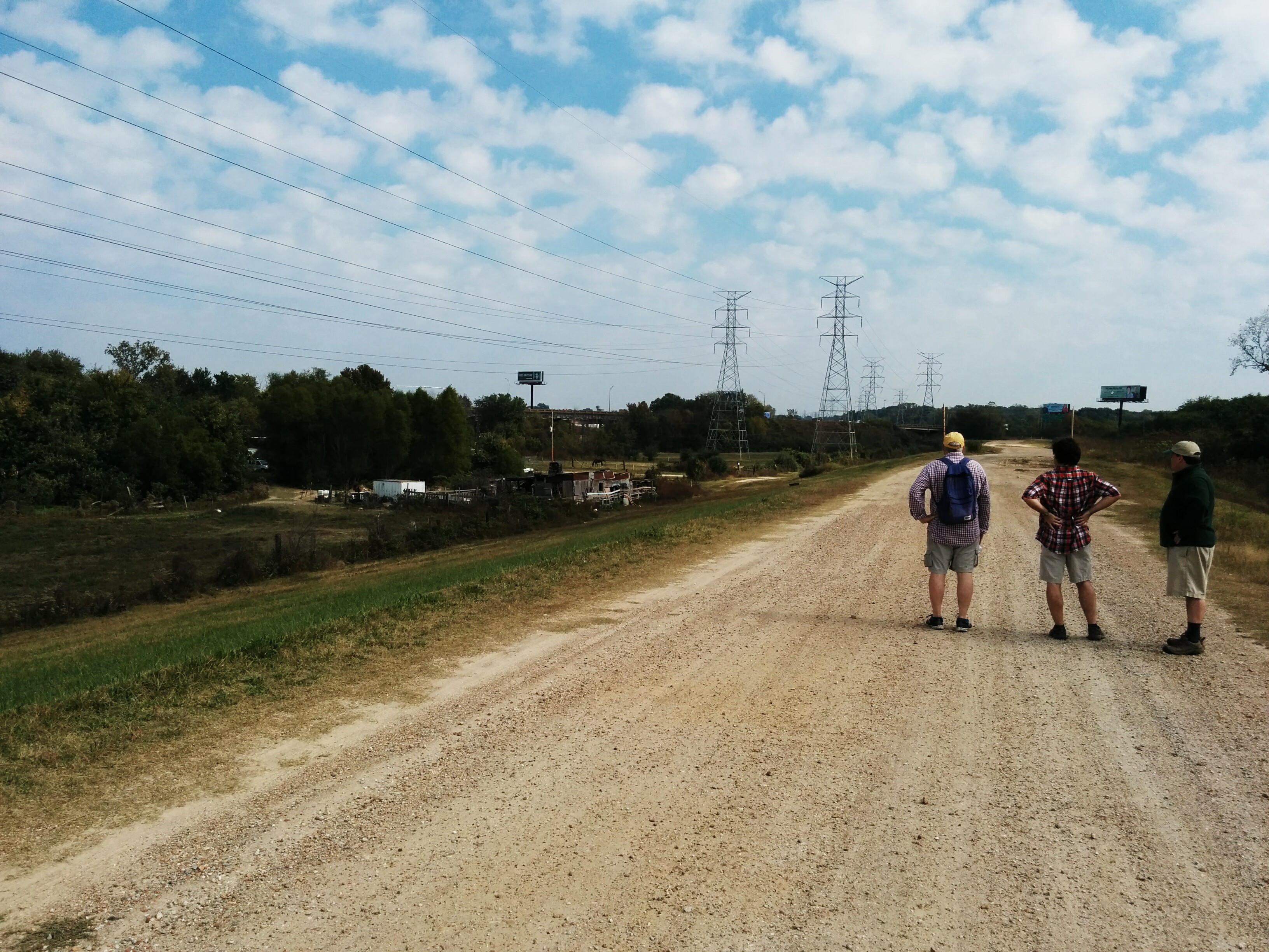
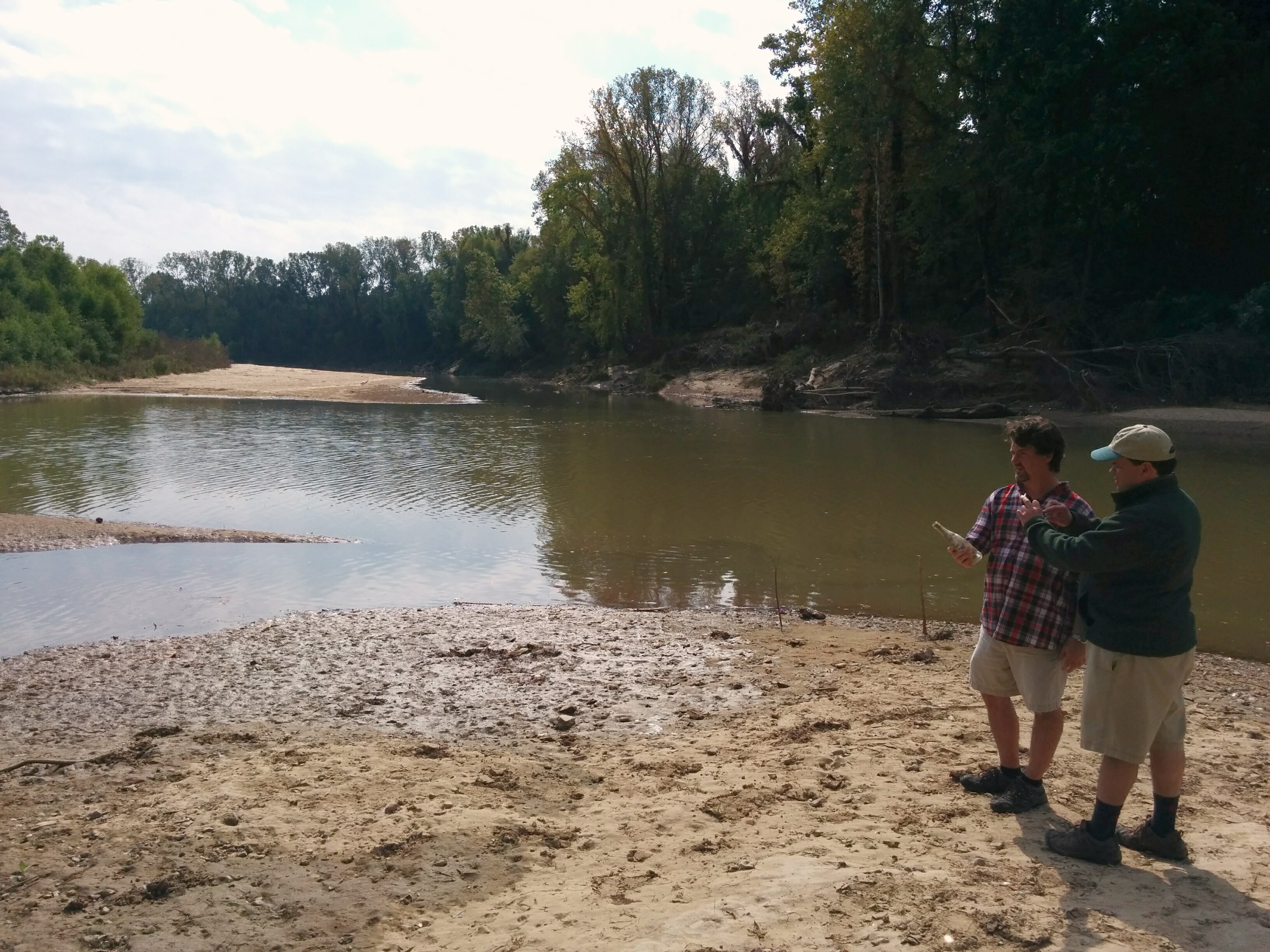
A lot of the route was long and straight, such as this stretch of Watkins as it crosses the Wolf River. We talked about having seen this bridge from our Urban Wolf trip several years ago.

2009120529_richie_robert_watkins_bridge

The small community of Rugby in North Memphis provided some of the most interesting sights of the trip, such as this large brick post that marked the entrance to the area.

2009120534_truk_richie_rugby

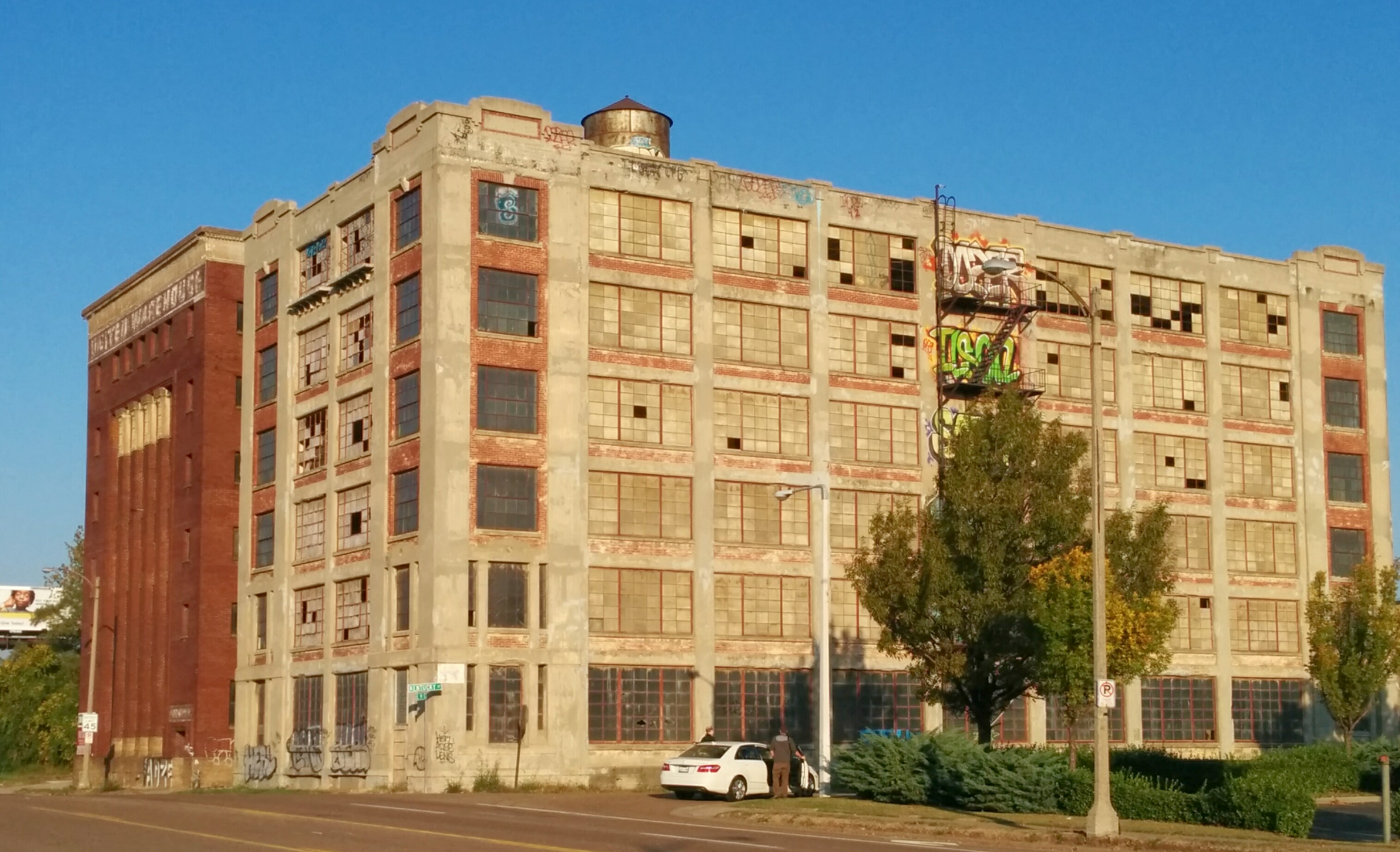
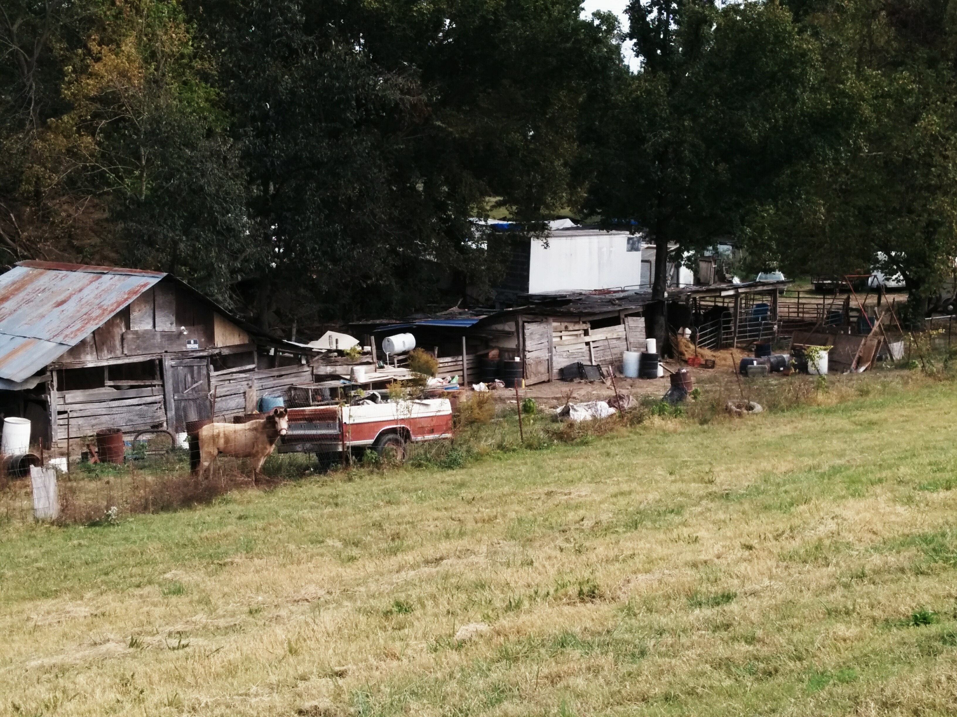
Rugby is pretty disadvantaged, as is the neighboring community of Frayser. We came across several houses (and apartment buildings) with the doors kicked in and who knows what going on inside of them. At least the number of random loose dogs running around was pretty low, though the cold may have helped with that. A number of properties in the area are in bad shape. I wonder how much this one goes for…

2009120539_rugby_make_offer

I can never pass up a chance to get a picture of myself next to an interesting topiary. This one is outside a pet grooming place on Frayser Blvd.

2009120547_truk_robert_topiary

One unexpected thing was the abundance of wildlife. We got a photo of this deer in a field right off of Frayser Blvd, while it was down in a field, searching for food.

2009120548_deer

The town of Bartlett marked the edge of Memphis and brought with it long stretches of stretches of Yale Road, where there was nothing to see but suburban houses, churches, schools, and more churches.

2009120550_richie_robert_bartlett

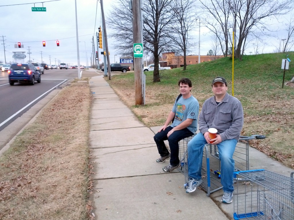
As we prepared to turn off of Yale Road and head up Summer Avenue toward Appling Road, Robert and Richie took a short rest. We didn’t take much downtime during this walk, just a coffee break in Frayser and a BBQ meal in Bartlett. The rest of the time, we were on the move.

2009120555_robert_richie_rest

Dave was out riding his motorcycle nearby, so he joined us for a bite at Fat Larry’s BBQ in Bartlett. They serve a very good representation of Memphis bar-b-que, and while not the best I’ve ever had, I was famished, and it really hit the spot.

2009120556_dave_fat_larrys

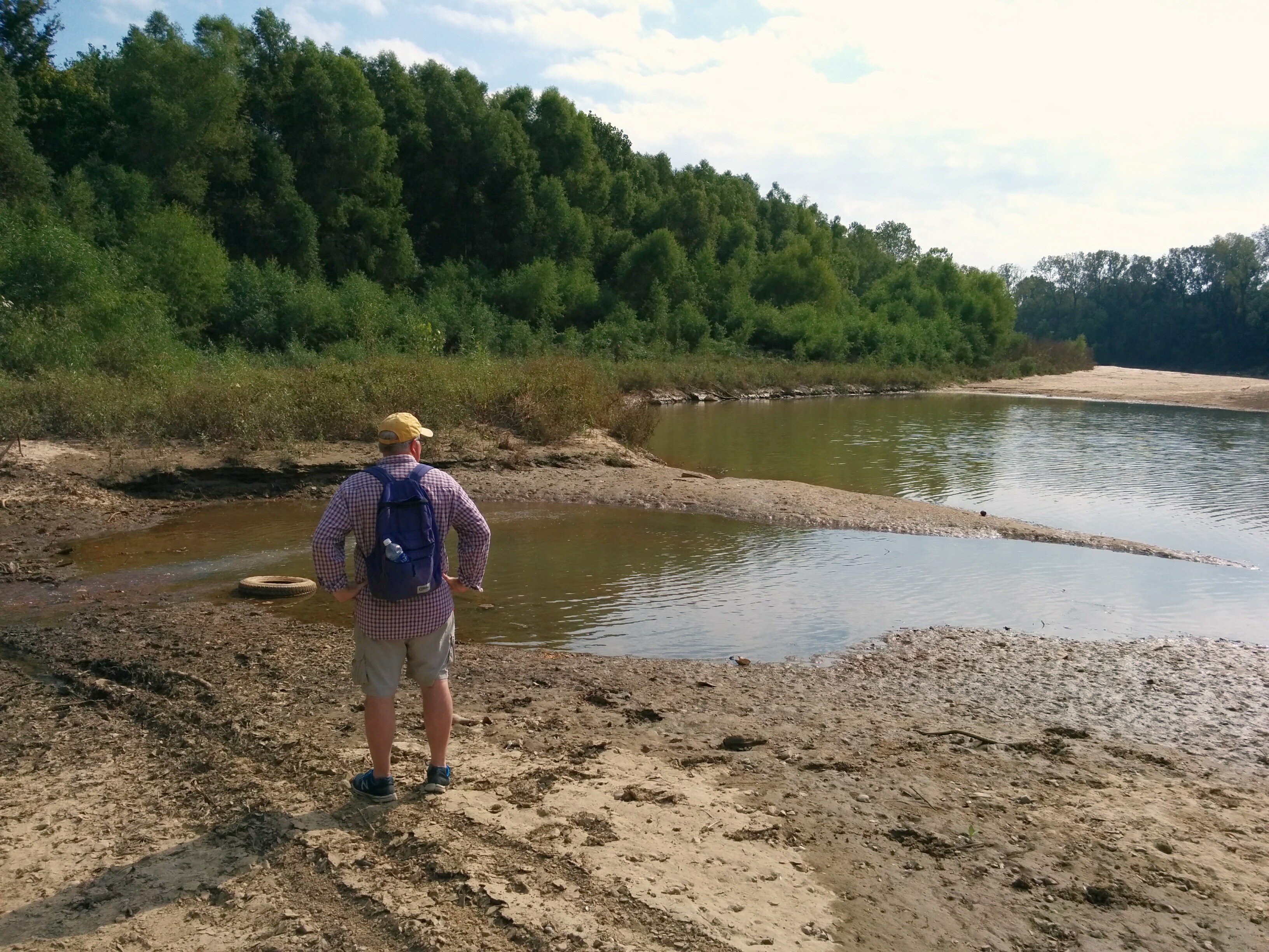
Being winter, the sun started going down pretty early, so we tried to make up time by crossing fields, with the hope of getting to Lakeland by dusk.

2009120557_robert_richie_field

We crossed the Memory Hill cemetery at sunset, and I got this shot of the fountain and ducks in the last few minutes of sunlight.

2009120558_memory_hill_fountain_sunset

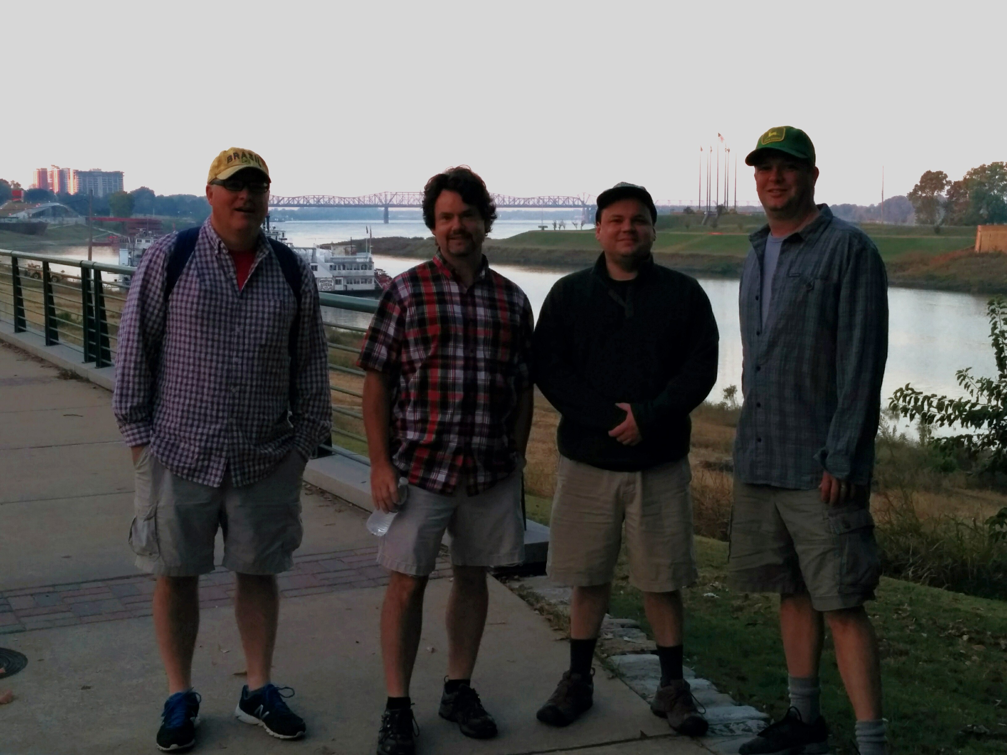
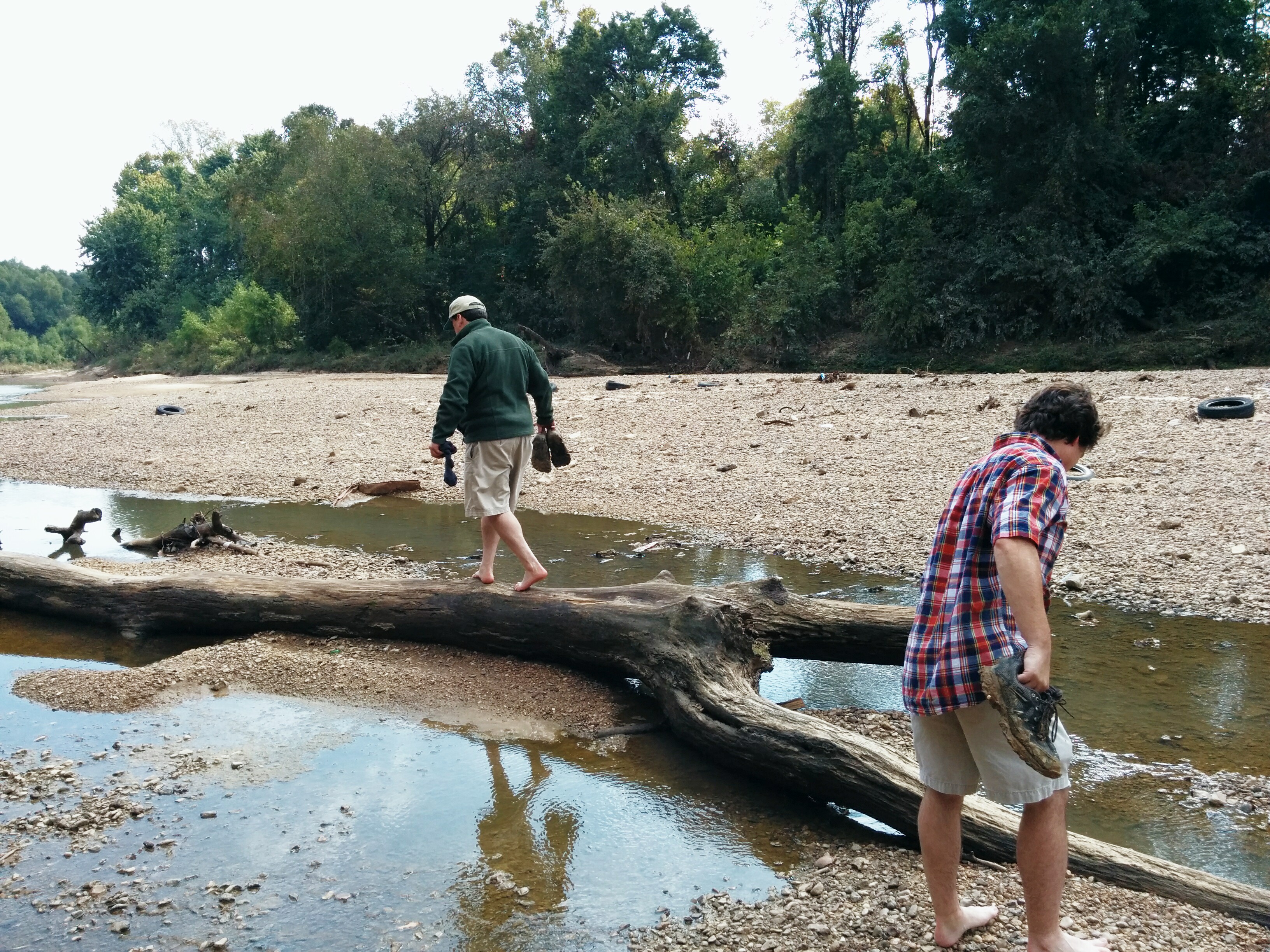
After crossing through some woods, we were eventually turned back by the growing darkness and the desire not to be shot by the wacky cul-de-sac McMansion owners whose yards we were going to have to cut through. By the end, we had Lakeland in sight, but a fence and some horse standing the woods marked the last point of our advance, and fearing a trespassing charge, we headed back the road and out to Germantown Parkway, for a gracious pickup by Dave, who had gone home for his car.

2009120559_sunset_retreat

The total mileage for the walk was 22 miles, which easily makes it our longest walk to date. We were all sore and stiff at the end, but I found myself contemplating the route of next year’s trip on the way home. There is simply so much left of the city to explore.

More photos of the trip can be viewed here

Categories
Travel

Dave Got a KLR 650

The big news this past week is that Dave bought a motorcycle, a 2006 Kawasaki KLR 650, the same model and year that I have. This is a very good thing, as we can bring one set of backup parts for long rides, and we will both be more likely to know how to fix problems with each other’s bikes. Here they are, with Wisch’s Suzuki DR 650, before we got them muddy on Sunday:

truk and Dave with the KLR 650s

We rode for about 3 hours on Sunday in Crittenden County, just over the Mississippi River from Memphis. I wanted to show the guys something interesting I found a month or so ago, which is the exit point for the original automobile traffic bridge over the Mississippi for the area. It is located right next to I-55, on a old railroad bridge where they bolted steel girders onto the bridge and covered them with huge wooden planks almost the size of railroad crossties. You can’t see any wood in this shot (it has all rotted away), but you can see what remains of the bridge as it arches up and prepares to go east over the river and toward Memphis.

Original Memphis Road Bridge

It was a beautiful day to go riding, needless to say. We ran into a really nice guy from Midtown out riding on the dirt roads with his girlfriend, and he took us to a nice spot opposite Memphis, evenly between the I-40 and I-55 bridges, almost even with the end of Mud Island. We all enjoyed the view of downtown, and while the river was rising, it almost looks so calm as to be swimable.

Here’s a shot of Wisch and the scene across the river, back toward Memphis.

Wisch and the Memphis Skyline

Here’s Dave before I accidentally sprayed him with mud from my back tire as we were leaving that place. (Sorry about that Dave…)

Dave and the Memphis Skyline

We got deeper into the mud that afternoon, going all of the way from I-55 to a road north of Marion entirely on dirt (well, dirt, mud, deep puddles, and lots of fallen, wet leaves). The ride was challenging but rewarding, and we all got adequately lost and dirty. We ended up taking a rest in Marion before heading back over the I-40 bridge back to Memphis.

Hanging Out in Marion

If only Big John’s had been open.

If you are looking to read about an incredible adventure motorcycle trip, please read their ADV Rider thread. Yes, I know it is over a hundred pages long, but the hours spent will be worth it. If you only have 10 minutes, just read a few pages, perhaps of their ride from this summer. In summary, some truly crazy (and very brave) guys traveled from Poland to Magadan in Eastern Siberia in 2007, and this year, they explored a big chunk of Eastern Siberia, usually without even the benefit of roads. They didn’t let the isolation of the area, or the bears, or the lack of fuel or spare parts, stand in their way. This looks to be an amazing adventure, and they are still publishing pics from the summer ride daily.